





Q1: Asset owners invest significant capital but lack real-time visibility into their solar sites. How can this be resolved?
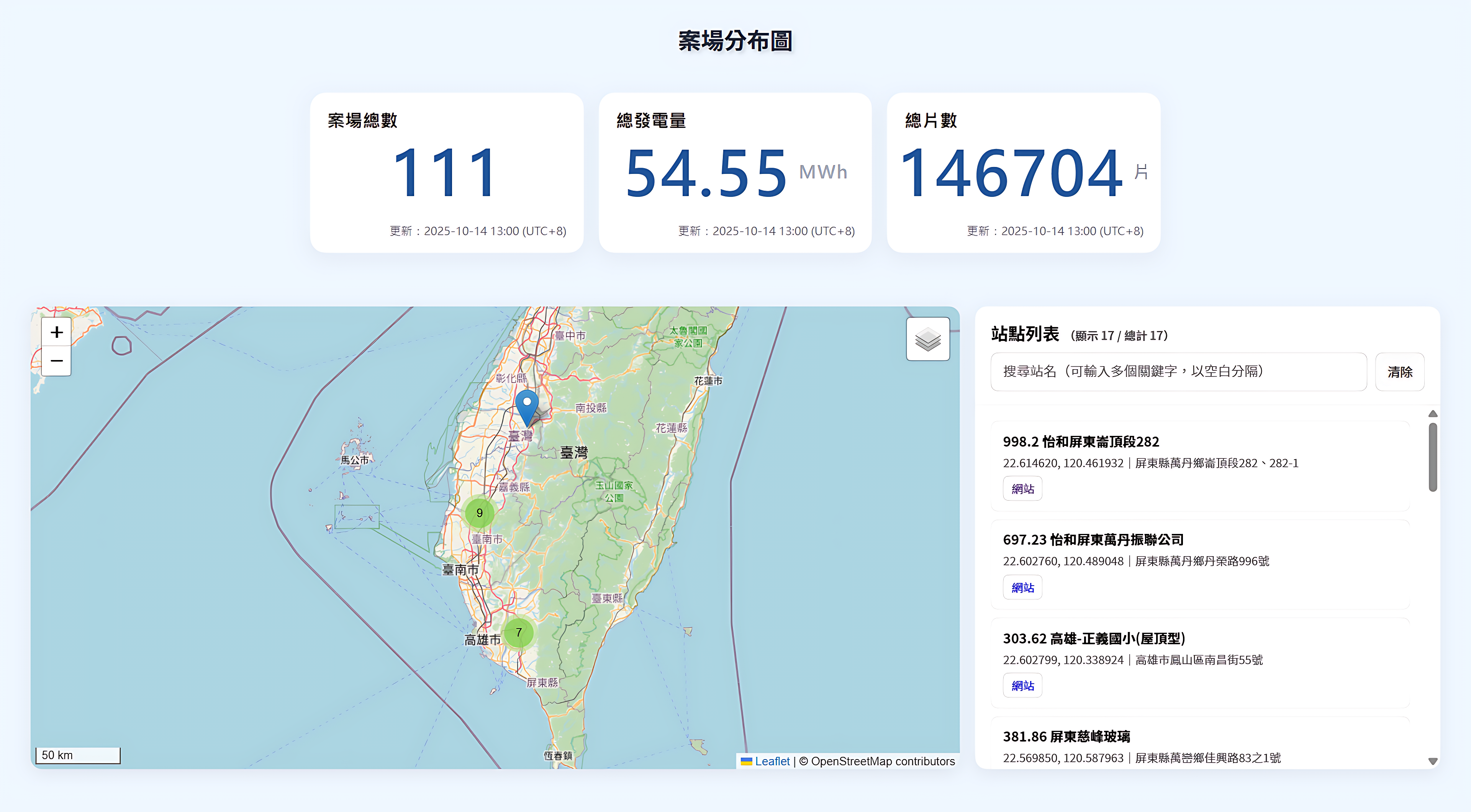
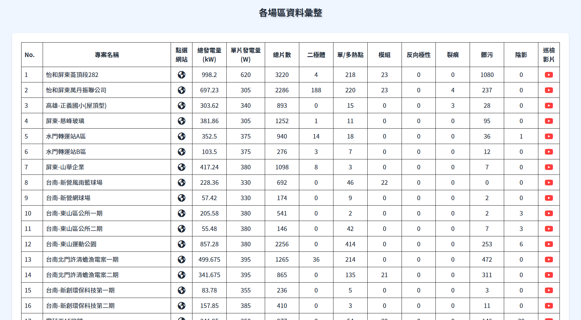
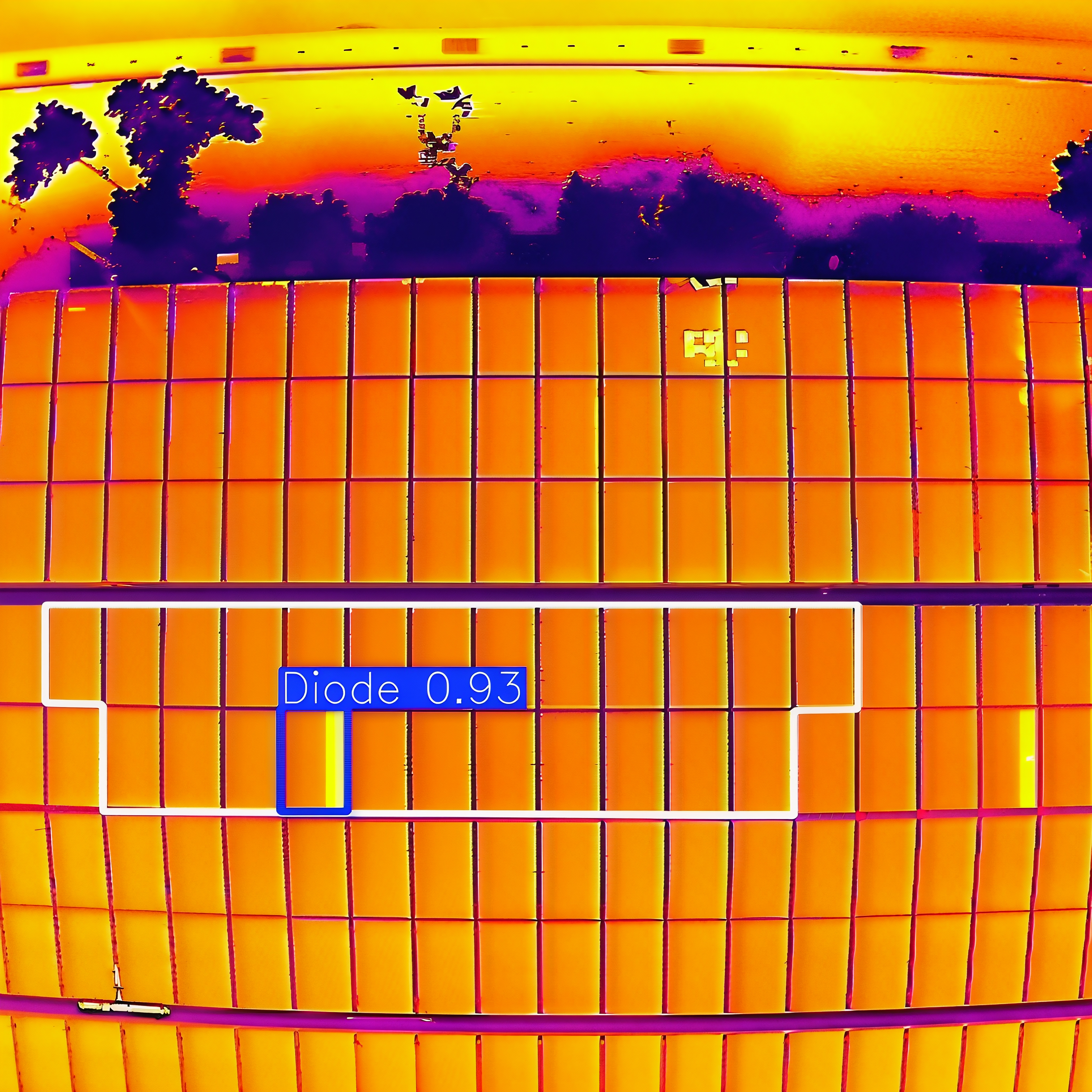
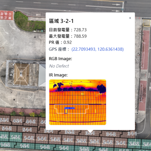
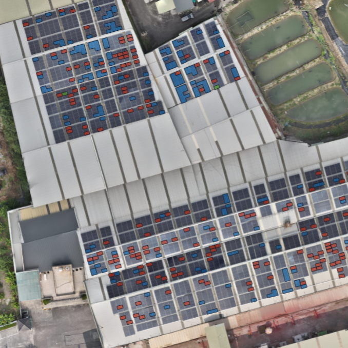
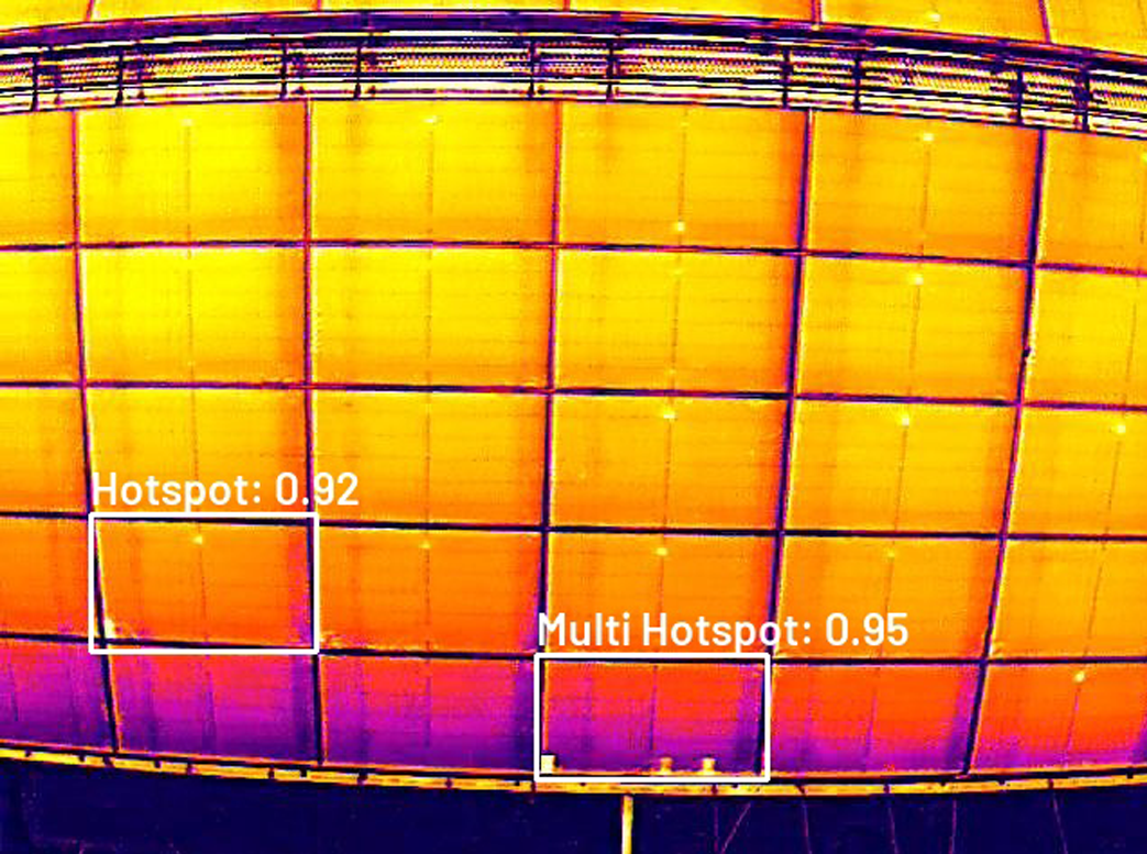
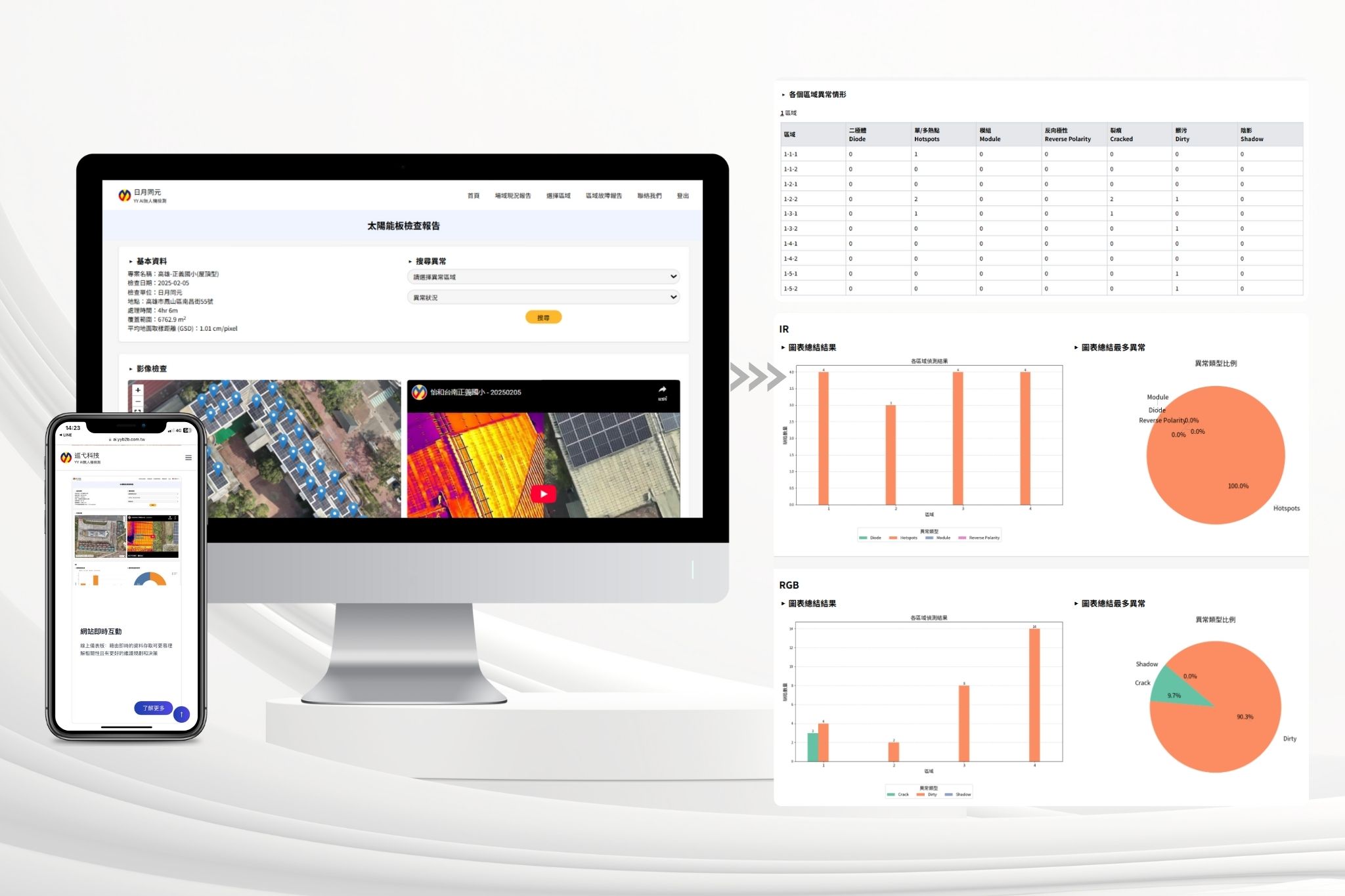
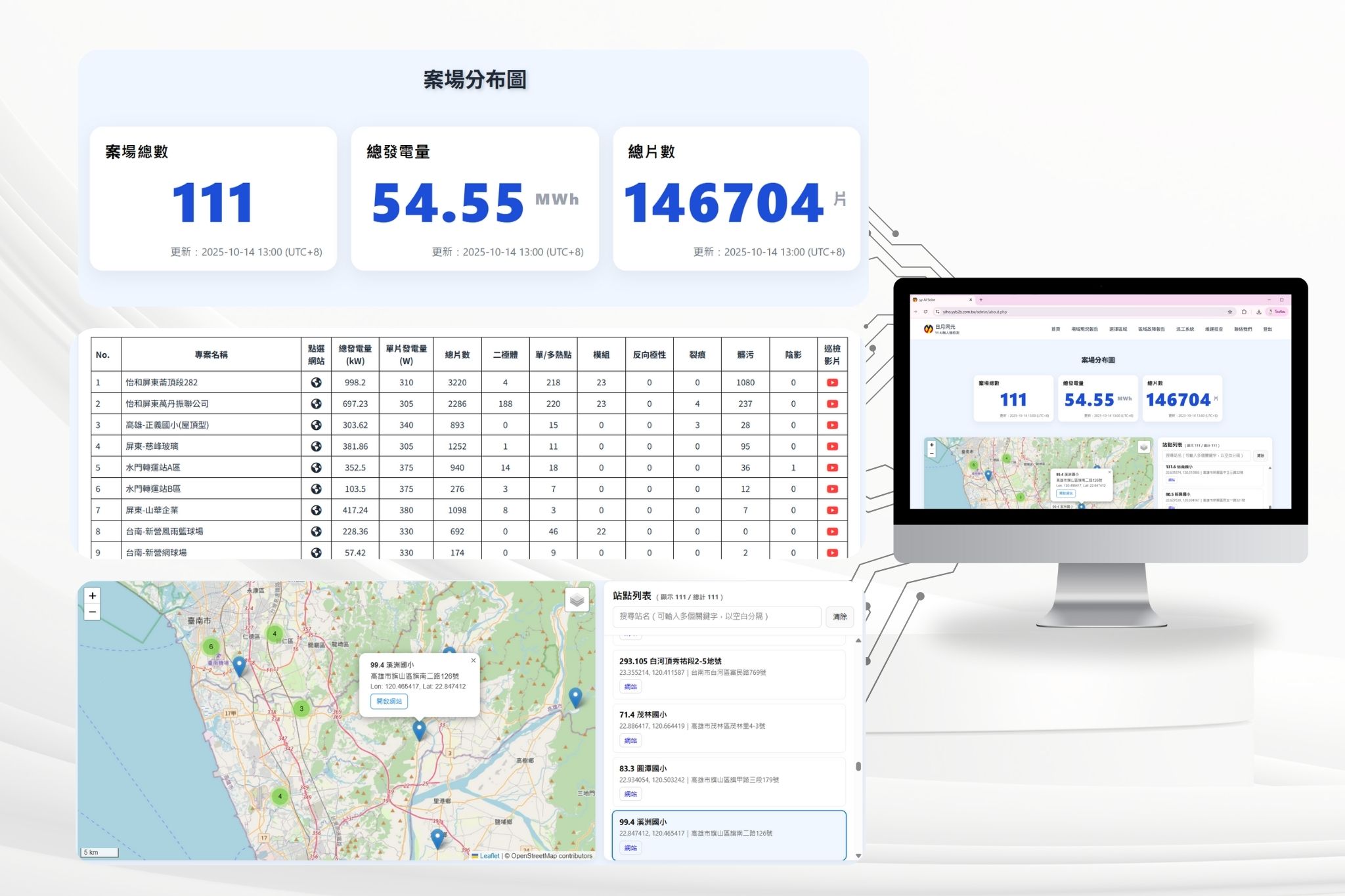
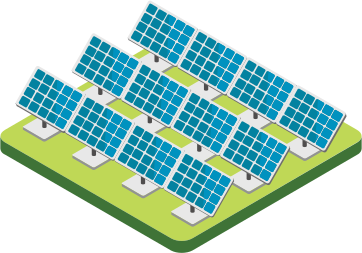
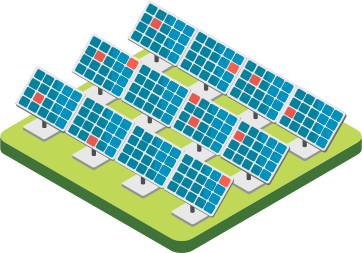
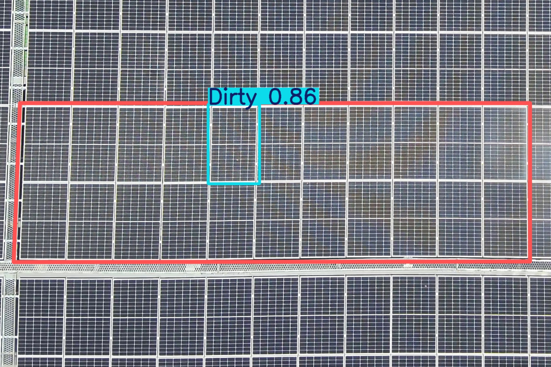
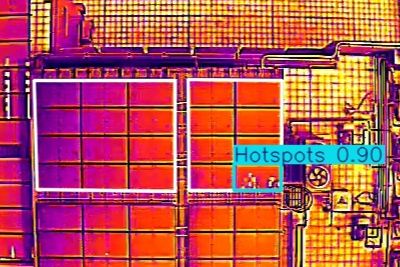
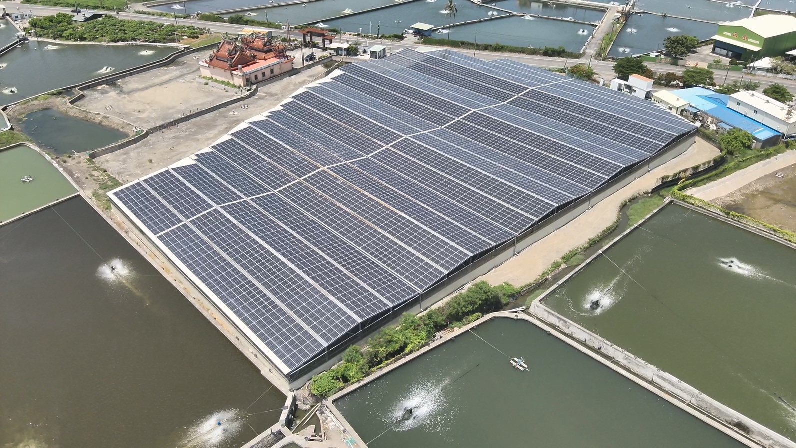
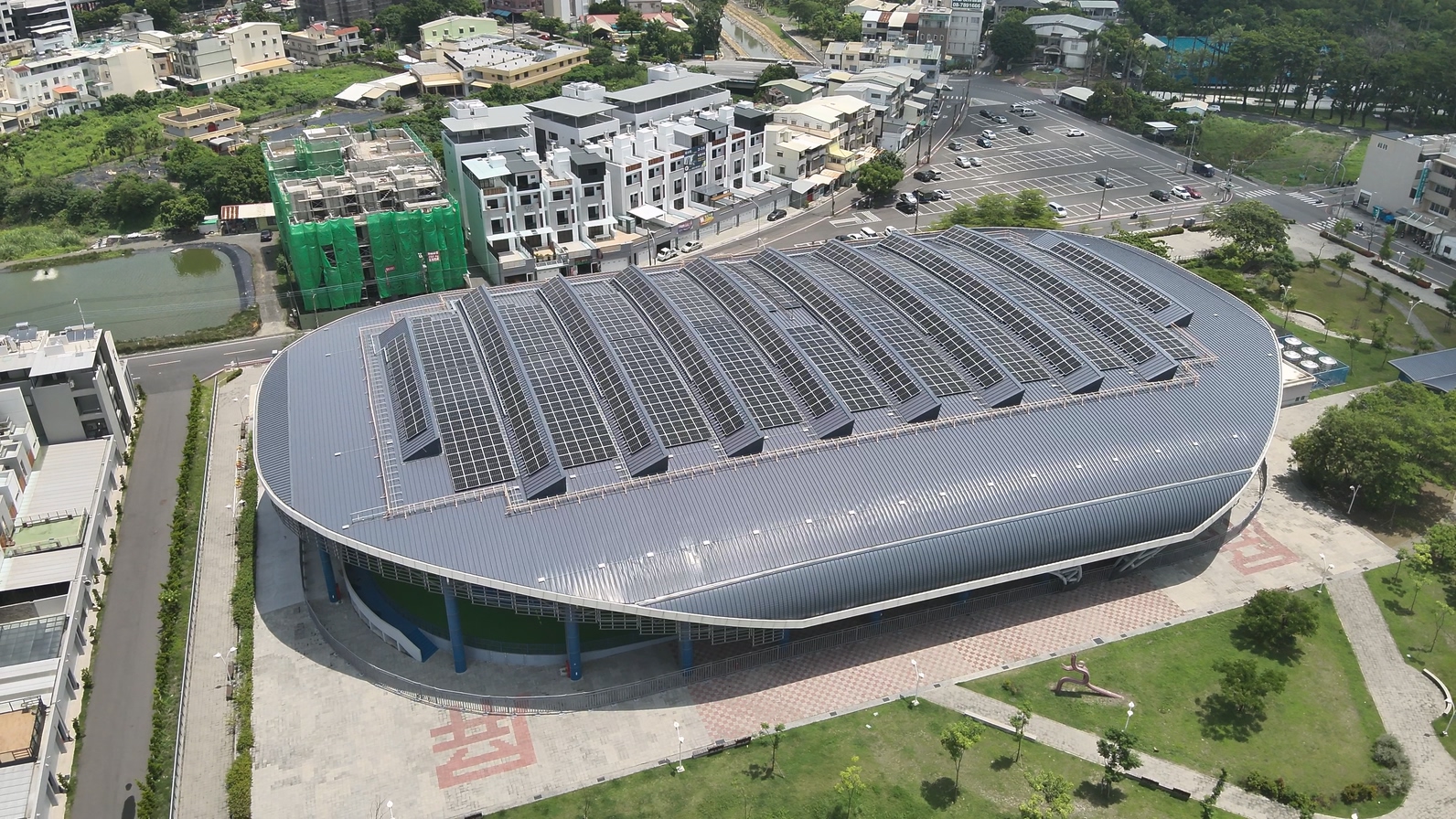
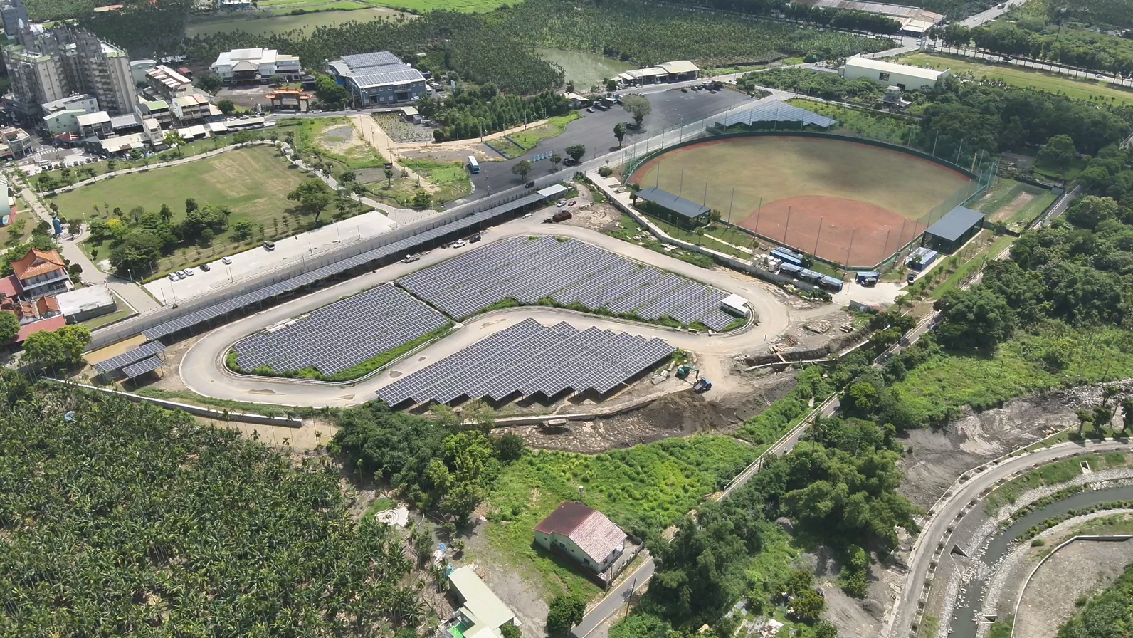
By combining drone inspection with our integrated digital platform, owners gain a comprehensive macro view of their assets. Map markers clearly indicate individual site locations—clicking a marker instantly switches the view to that facility. Within each site dashboard, key facility metadata is presented in the top-left corner, while string array zones on the right are color-coded by Performance Ratio (PR). Clicking any specific zone reveals power output data, GPS coordinates, and high-resolution aerial imagery.